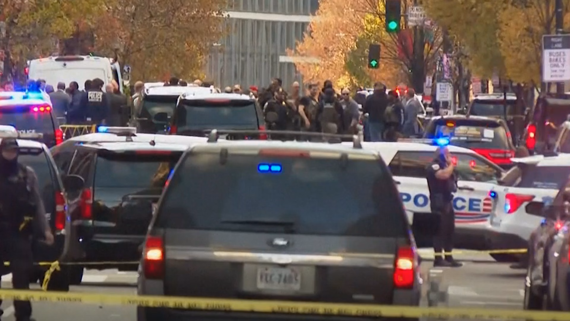
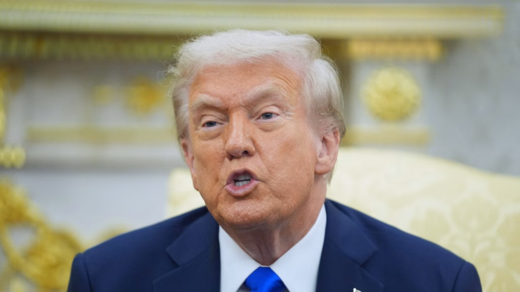
Issued at 200 AM AST Thu Oct 09 2025 000
WTNT35 KNHC 090543
TCPAT5
BULLETIN
Tropical Storm Jerry Intermediate Advisory Number 7A
NWS National Hurricane Center Miami FL AL102025
200 AM AST Thu Oct 09 2025
…JERRY REMAINS A SHEARED TROPICAL STORM…
…TROPICAL STORM CONDITIONS POSSIBLE ON PORTIONS OF THE NORTHERN
LEEWARD ISLANDS AS JERRY PASSES NEARBY LATER TODAY INTO FRIDAY…
SUMMARY OF 200 AM AST…0600 UTC…INFORMATION
———————————————-
LOCATION…15.5N 57.1W
ABOUT 440 MI…705 KM ESE OF THE NORTHERN LEEWARD ISLANDS
MAXIMUM SUSTAINED WINDS…65 MPH…100 KM/H
PRESENT MOVEMENT…WNW OR 290 DEGREES AT 18 MPH…30 KM/H
MINIMUM CENTRAL PRESSURE…999 MB…29.50 INCHES
WATCHES AND WARNINGS
——————–
CHANGES WITH THIS ADVISORY:
None.
SUMMARY OF WATCHES AND WARNINGS IN EFFECT:
A Tropical Storm Watch is in effect for…
* Antigua, Barbuda, Anguilla, St. Kitts, Nevis, and Montserrat
* St. Barthelemy and St. Martin
* Sint Maarten
* Saba and St. Eustatius
* Guadeloupe and the adjacent islands
Interests elsewhere in the northern Leeward Islands and the
British and U.S. Virgin Islands should monitor the progress of
Jerry.
For storm information specific to your area, please monitor
products issued by your national meteorological service.
DISCUSSION AND OUTLOOK
———————-
At 200 AM AST (0600 UTC), the center of Tropical Storm Jerry was
located near latitude 15.5 North, longitude 57.1 West. Jerry is
moving toward the west-northwest near 18 mph (30 km/h), and this
general motion is expected to continue through today. A turn to the
northwest at a slower forward speed should begin tonight, followed
by a northward motion on Friday and Saturday. On the forecast track,
the center of Jerry is expected to pass near or to the northeast of
the northern Leeward Islands later today and tonight.
Maximum sustained winds are near 65 mph (100 km/h) with higher
gusts. Gradual strengthening is forecast during the next few days,
and Jerry could become a hurricane late this week or this weekend.
Tropical-storm-force winds extend outward up to 185 miles (295 km)
from the center.
The estimated minimum central pressure is 999 mb (29.50 inches).
HAZARDS AFFECTING LAND
———————-
Key messages for Tropical Storm Jerry can be found in the Tropical
Cyclone Discussion under AWIPS header MIATCDAT5 and WMO header
WTNT45 KNHC.
WIND: Tropical storm conditions are possible in portions of the
northern Leeward Islands within the watch area late today into
Friday.
RAINFALL: Through Friday, 2 to 4 inches of rain with local storm
total maxima to 6 inches are expected across the Leeward Islands,
British Virgin Islands, and U.S. Virgin Islands. This rainfall
brings a risk of flash flooding, especially in areas of steep
terrain.
For a complete depiction of forecast rainfall and flash flooding
associated with Jerry, please see the National Weather Service Storm
Total Rainfall Graphic, available at
hurricanes.gov/graphics_at5.shtml?rainqpf
SURF: Swells generated by Jerry are expected to reach the Leeward
and Windward Islands today, then spread westward toward the Greater
Antilles on Friday into the weekend. These swells are likely to
cause life-threatening surf and rip current conditions. Please
consult products from your local weather office.
A depiction of rip current risk for the United States, including
Puerto Rico and the U.S. Virgin Islands, can be found at:
hurricanes.gov/graphics_at5.shtml?ripCurrents
NEXT ADVISORY
————-
Next complete advisory at 500 AM AST.
$$
Forecaster Reinhart